Our Solutions
Are you looking for reliable UAV services that specialize in photogrammetry and GIS solutions?
Company Presentation:
We are a reliable company providing high-quality aerial data collection and analysis to meet your business requirements.
-
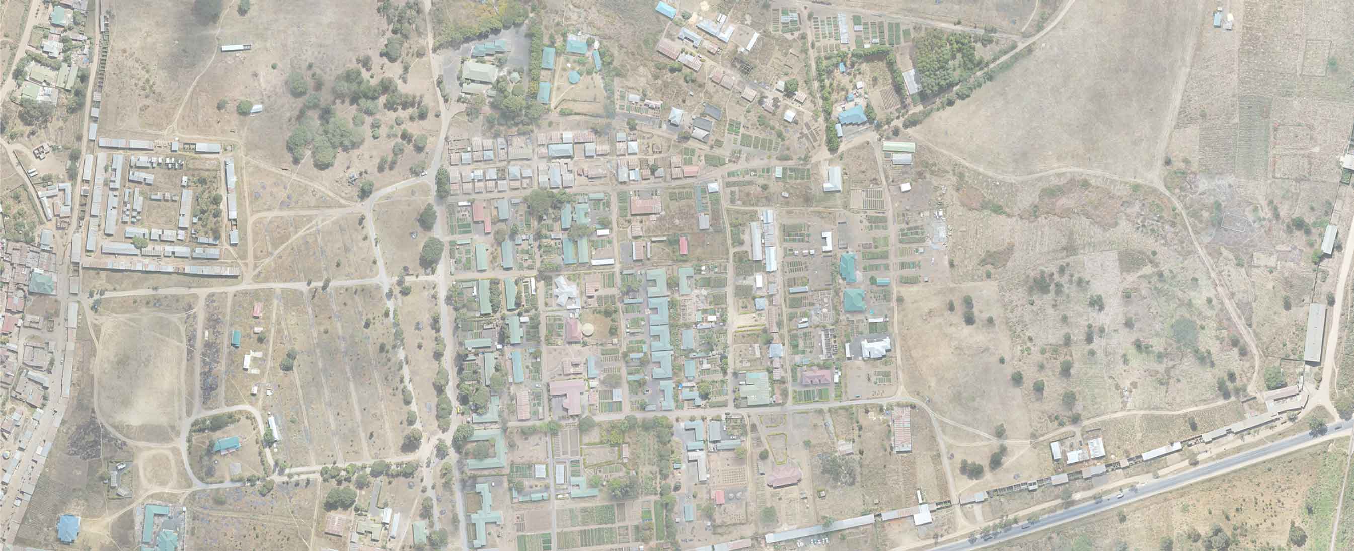
Mapping
Drones equipped with mapping technology are revolutionizing industries like agriculture, construction, and surveying.
-
Monitoring
From law enforcement agencies for surveillance along with monitoring crowds and traffic management during mass gatherings to harvesting in agriculture
-
Planning
From generation and planning to creating base maps, find out how UAV services can benefit your business..
Show
Case
OUR PROJECTS


