Supports organizations across farming, livestock, agribusiness, and food production with digital solutions for managing operations, resources, supply chains, and data. Designed to improve productivity, sustainability, and decision-making from production to market.
Land Mapping and Precision Farming
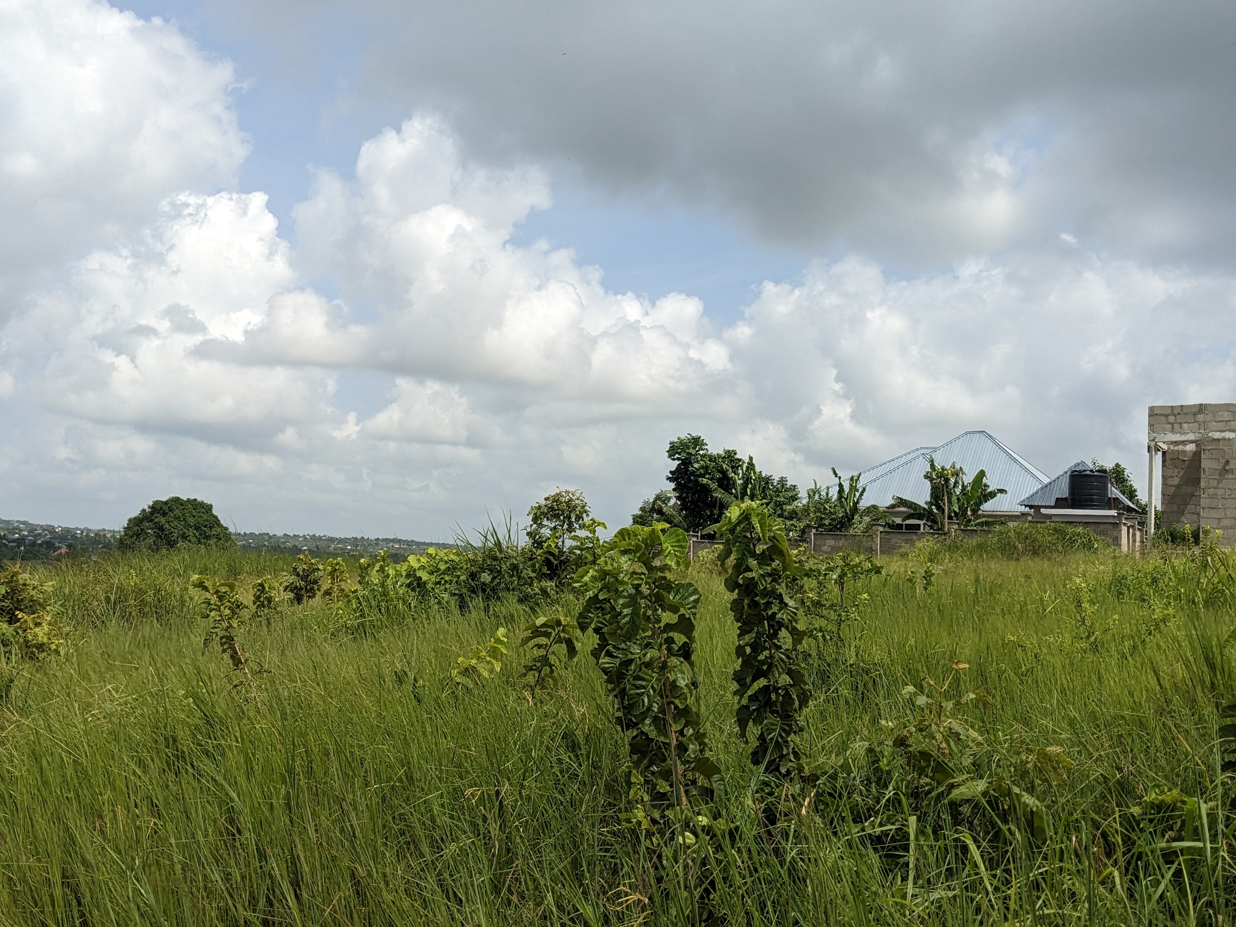
- Topographic mapping: Measuring slopes, elevations, and natural features to understand terrain behavior.
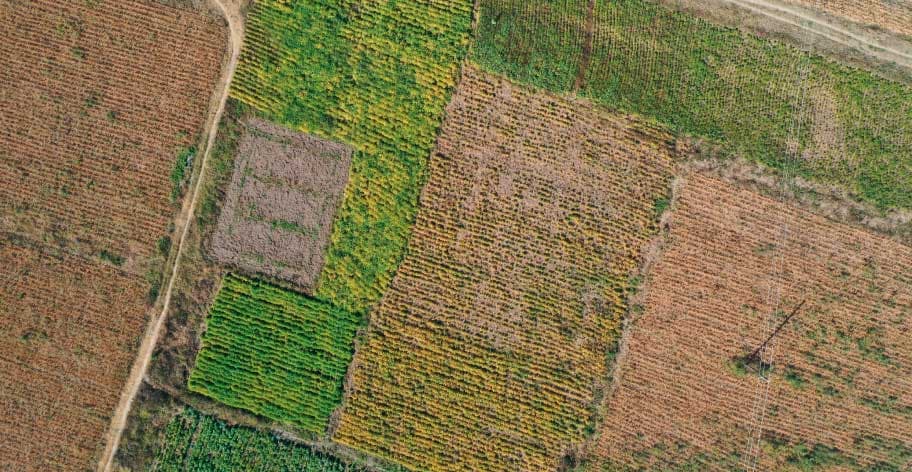
- Precision agriculture support: Providing GPS and GIS data on soil and moisture variations to help farmers zone crops and maximize yields.
- Layout planning: Designing optimal locations for fencing, access roads, drainage layouts and storage or buildings.
Water and Resource Management
- Irrigation design: Using elevation data to plan gravity-fed or mechanical watering systems that prevent pooling and runoff.
- Drainage and erosion control: Identifying low points and water flow patterns to protect top soil and stop land degradation.
- Dam Designing: our help starts from Site Selection ,Design ,Capacity Calculations, Drainage and Spillway Layout to Construction Setting out and Deformation Monitoring
Legal and Property Management
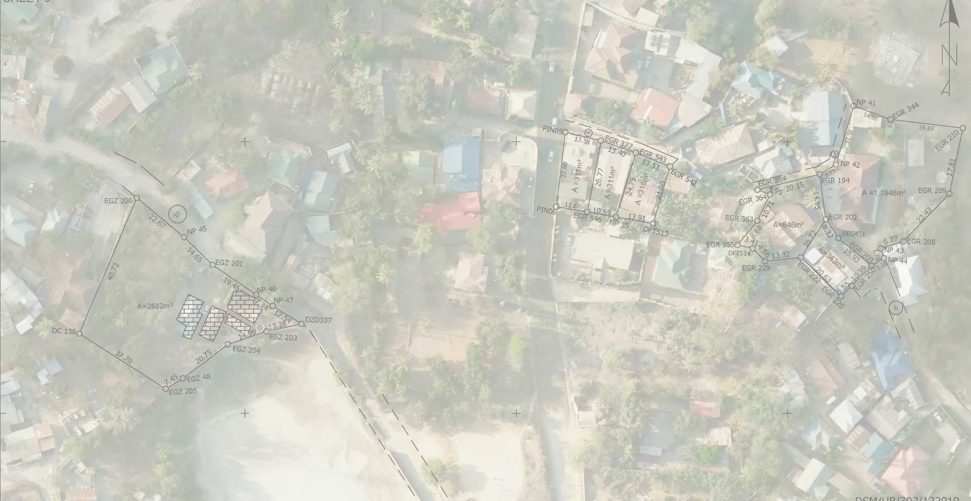
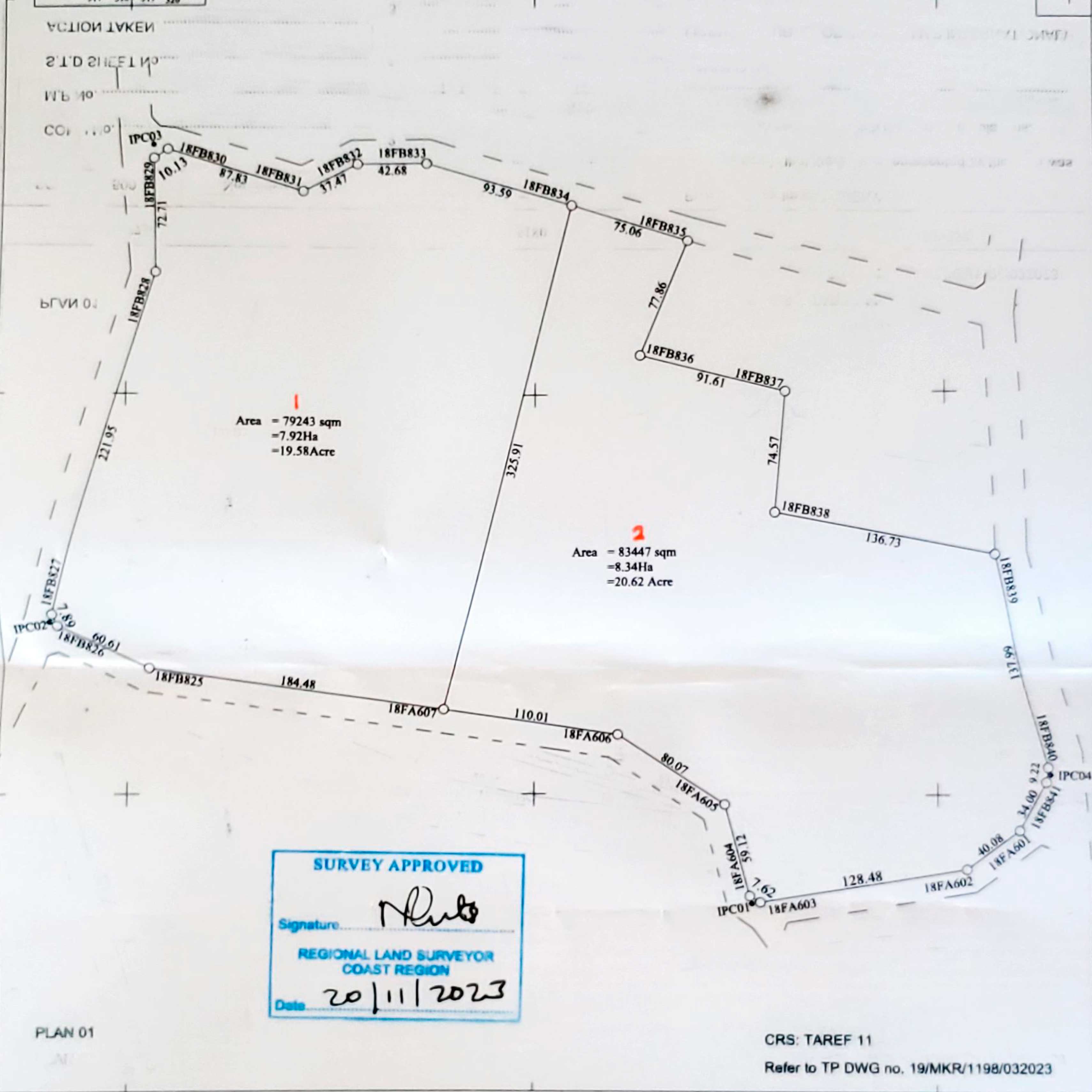
- Boundary demarcation: Marking exact property lines to prevent illegal encroachment, neighbor disputes and we facilitate land acquiring process.
- Rural valuation and administration: Assessing farm asset values, managing rural estates, and handling compliance with local land-use regulations.