
 June 20, 2026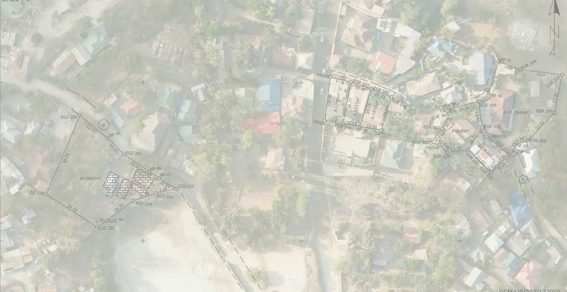
Land Registration, Development and Administration
Overview
📜 Land Registration
Boundary Demarcation: Surveying establishes precise property boundaries, ensuring title deeds reflect accurate measurements.
Legal Certainty: Provides authoritative maps and coordinates that prevent disputes over ownership.
Cadastral Records: Surveys feed into cadastral systems, which governments use to register and track land parcels.
🏗️ Land Development
Planning & Design: Topographic surveys guide infrastructure placement (roads, utilities, housing).
Feasibility Studies: Helps developers assess terrain, drainage, and environmental constraints before construction.
Subdivision & Layout: Surveyors design plots for residential, commercial, or industrial use, ensuring compliance with planning laws.
🏛️ Land Administration
Resource Management: Surveys support allocation of land for agriculture, mining, conservation, or urban expansion.
Monitoring & Control: Geodetic surveys track land deformation, encroachment, or unauthorized use.
Policy Implementation: Provides data for taxation, zoning, and land-use regulation.
Company Presentation:
We offer systems and tools used to collect, store, protect, and analyze large amounts of spartial information. Key offerings include cloud storage
migration, advanced data analytics, and managed cybersecurity
infrastructure
Our Projects
June 20, 2026 June 20, 2026
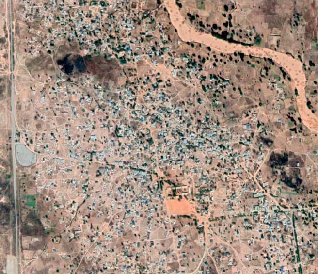
Miyuji File Completion
Read More June 20, 2026