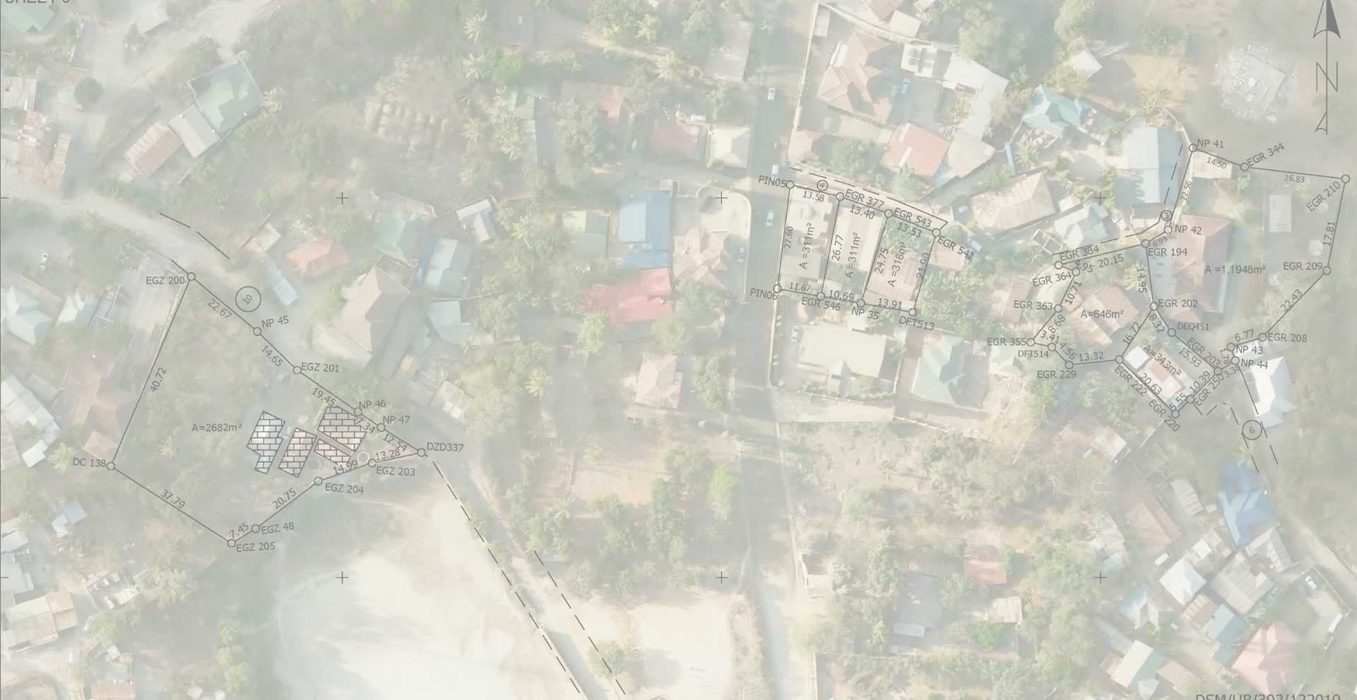
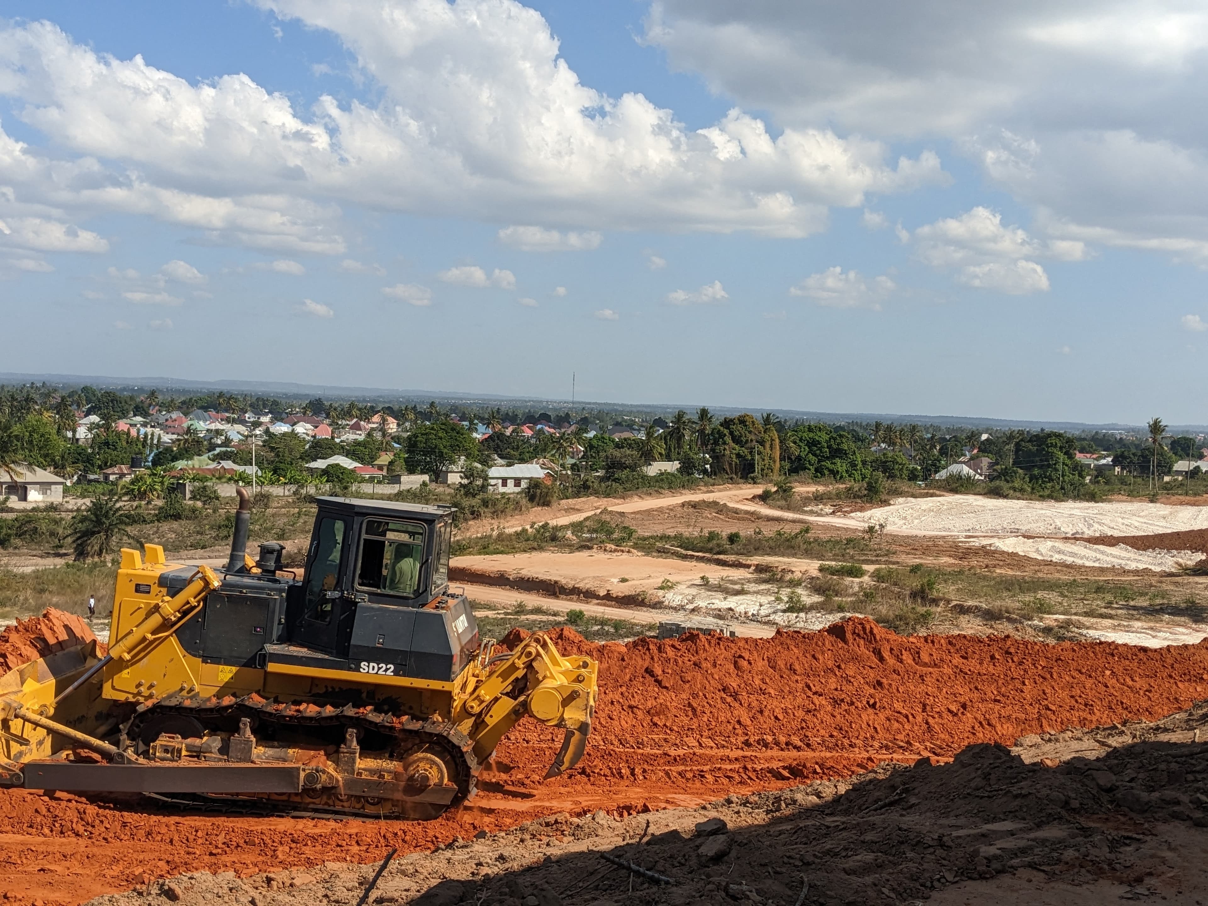
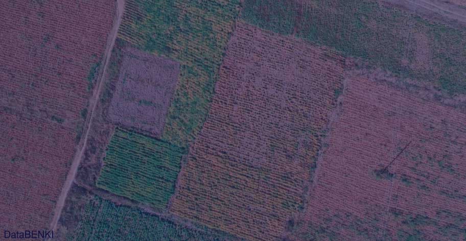
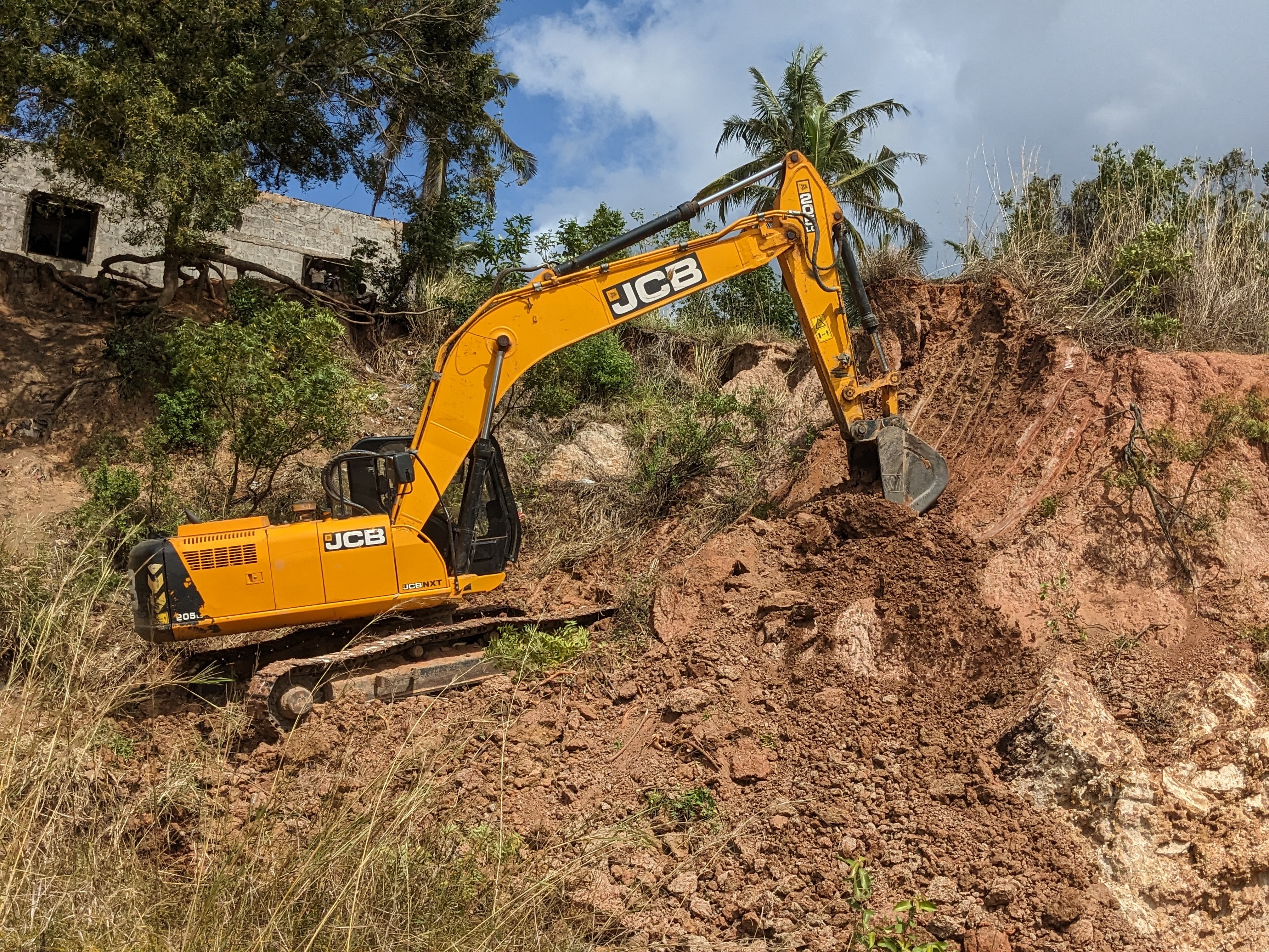
We map sensitive ecosystems, assessing land contamination, and evaluating flood risks. Using advanced tools like GIS, drones, earth sampling, and Geotechnical investigations.
We provide essential data that guides sustainable urban planning, habitat conservation, and renewable energy site selection