
We are leading land firm!!!!
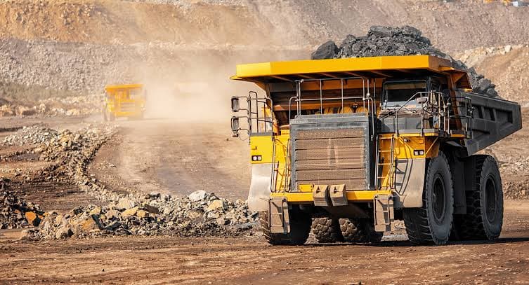
Mining Sectors

Mining Sectors

We advise, design, execute and support throughout all the stages of projects, Modelling, implementation of databases and definition of the metadata as per international standards

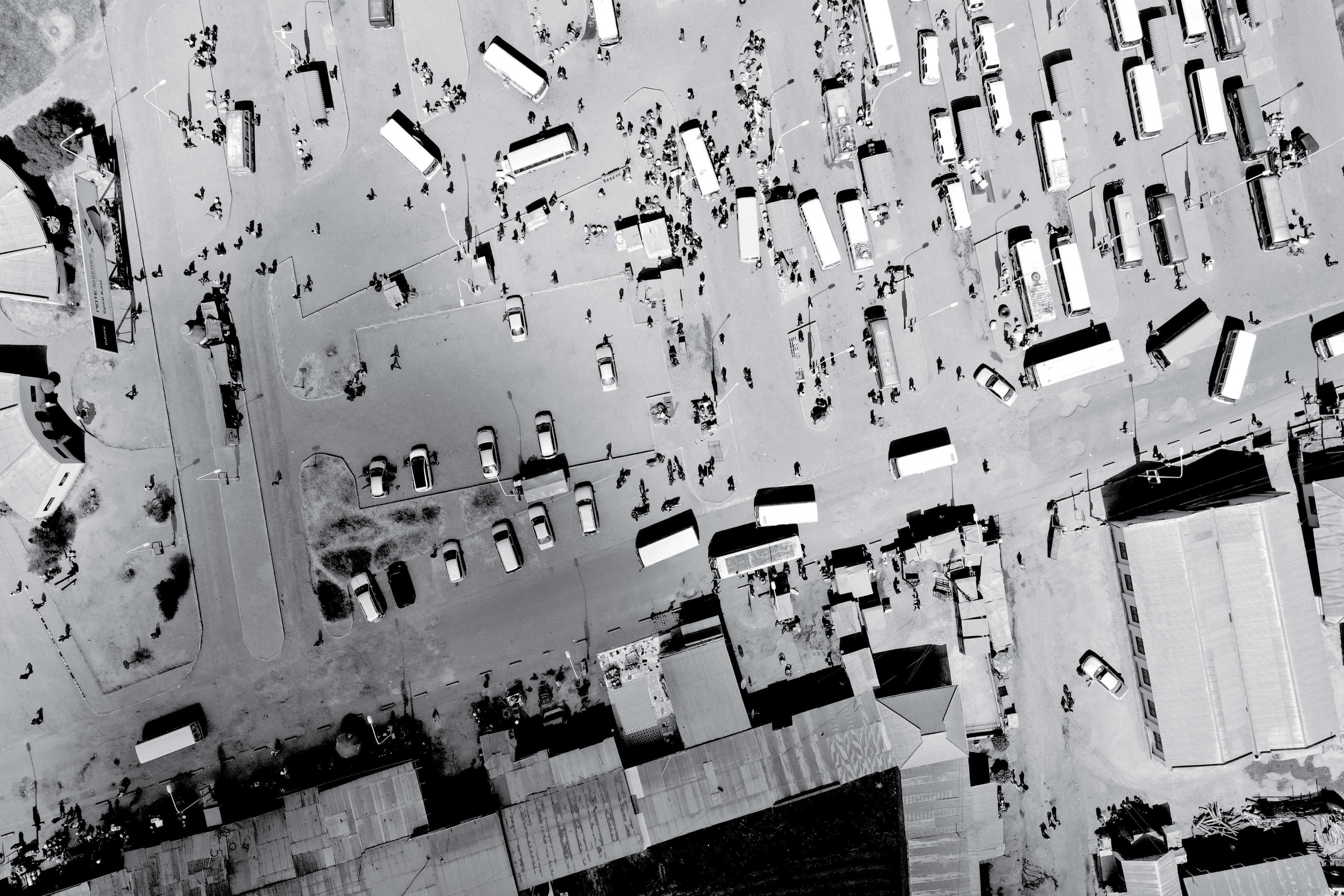
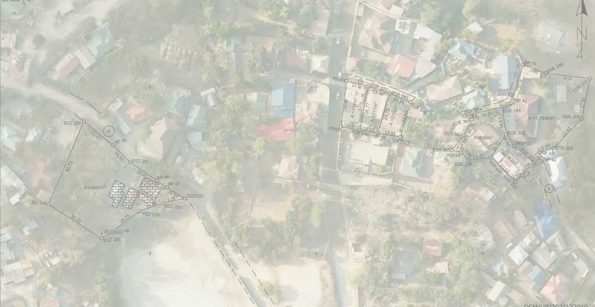
Land Surveying, LiDAR and Remote Sensing
  • Boundary Definition: Establishes clear property limits to avoid disputes between mining companies, communities, and government authorities.
  • Resource Mapping: Provides precise coordinates for mineral deposits, guiding exploration and extraction.
  • Legal Compliance: Ensures mining operations align with land registration, title deeds, and statutory requirements.
  • Infrastructure Planning: Supports the layout of roads, processing plants, and waste disposal sites within mining areas.
  • Environmental Safeguards: Helps assess land use impacts, ensuring rehabilitation plans are feasible and measurable
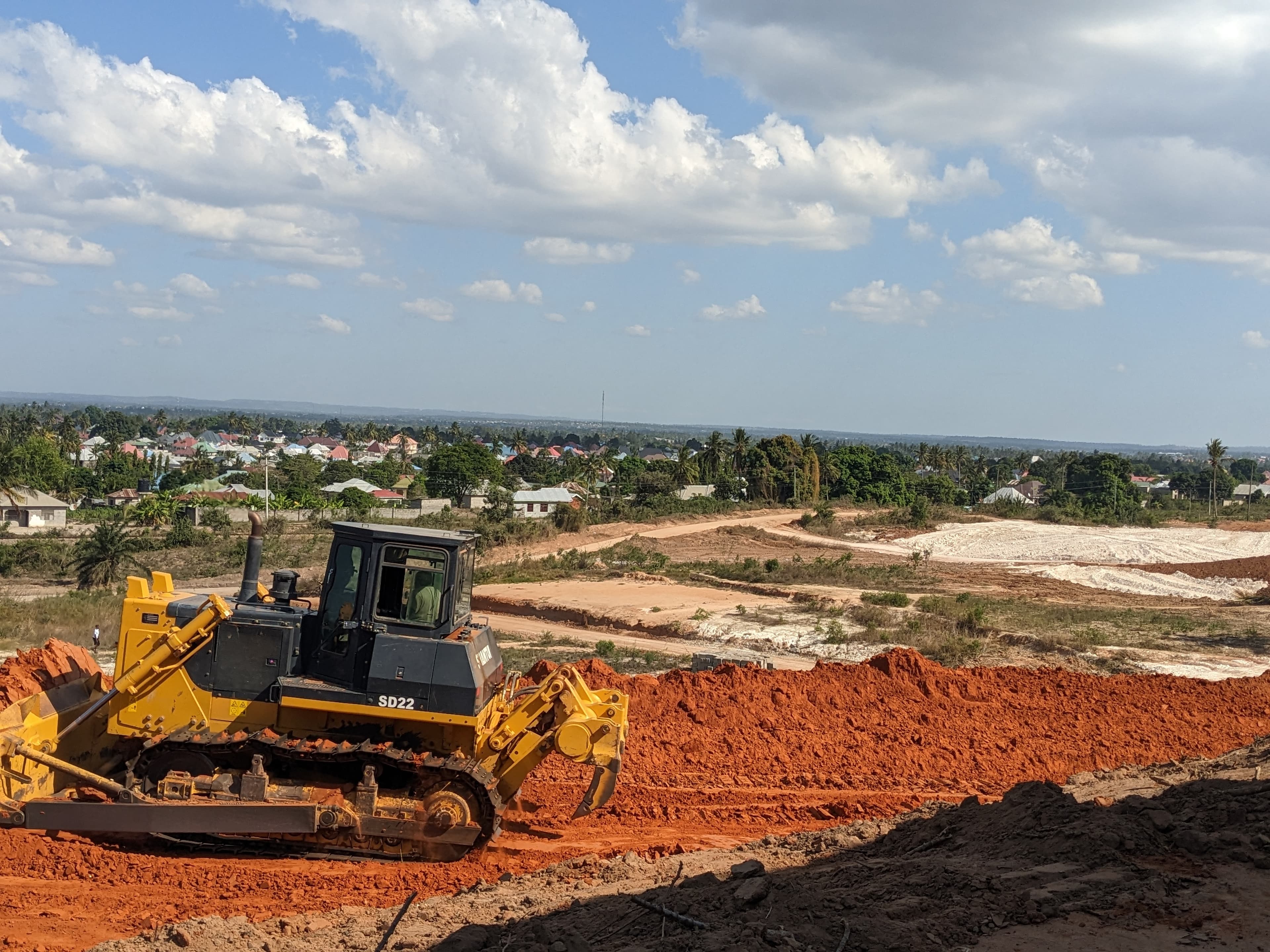
  • Earthwork and Volume computation.
  • Setting out of drilling hole for blasting, Crushers, plants, building and more.
  • Topographical Survey and Contouring for Query design, planning and much more

Our Services

Our Projects

Online Assistant

No messages yet. Start the conversation below.